
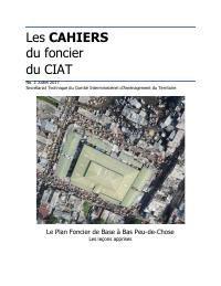
The CIAT Land Notebooks No. 2: The Basic Land Plan in Bas Peu-de-Chose, Lessons Learned
- Documents a Basic Land Plan pilot in Bas Peu-de-Chose, moving CIAT land policy from concept to neighborhood practice.
- Shows why urban land regularization depends on parcel identification, evidence held by occupants, and state-domain boundaries.
- Treats conflicts and survey limits as part of the land record rather than as side issues.
- Links the pilot to concrete public-policy orientations for land administration.
This cahier is the neighborhood-scale sequel to CIAT's broader land-policy work. It records what happened when the Basic Land Plan method was applied in part of Bas Peu-de-Chose, an old Port-au-Prince neighborhood with dense occupation and layered land claims. The document matters because it moves from general land-tenure diagnosis to administrative practice: how parcels are identified, what kinds of documents residents hold, where private ownership and state-domain claims appear, how conflicts are recognized, and what the pilot can and cannot prove. It gives HaitiDocs a substantive case study of urban land regularization rather than another abstract cadastre note.
How to cite
Government of Haiti; Interministerial Committee for Territorial Planning (CIAT), 2017, The CIAT Land Notebooks No. 2: The Basic Land Plan in Bas Peu-de-Chose, Lessons Learned, http://ciat.gouv.ht/sites/default/files/articles/files/Les%20Cahiers%20du%20foncier%202%20-Le%C3%A7ons%20apprises%20PFB%20de%20BPC.pdf