
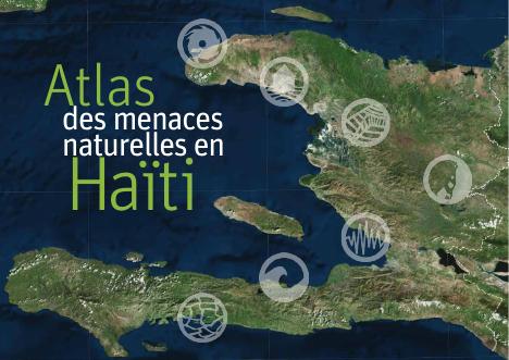
Atlas of Natural Hazards in Haiti
- A 114-page national hazard atlas with legal deposit and ISBN 978-99970-4-871-4.
- It is the cartographic evidence base under the hazard-exposure arguments common to Haitian planning documents.
- Individual plates circulated separately on the CIAT thematic-maps page.
- It supplies the defensible national source a plan needs when it designates land as unbuildable.
Almost every Haitian planning document argues from hazard exposure: that settlement has extended into flood plains and onto steep slopes, that ravines have been built over, that the built area sits where the risk is. This atlas is the cartographic evidence base for those arguments, published by the CIAT with a national legal deposit reference and its own ISBN. At 114 pages it maps the natural hazards facing the country, and individual plates from it circulated separately on the CIAT site's thematic-maps page. Its practical role in the corpus is as the layer underneath the plans: a commune development plan or a regulatory handbook that designates land as unbuildable needs a defensible national source for the hazard classification behind that designation, and this is it.
How to cite
Government of Haiti; Interministerial Committee for Territorial Planning (CIAT), 2017, Atlas of Natural Hazards in Haiti, http://ciat.gouv.ht/sites/default/files/articles/files/ATLAS%20HAITI%20FRENCH%2005032017_LR.pdf