
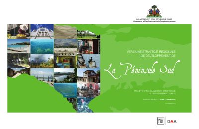
The Southern Peninsula: Toward a Regional Development Strategy, Volume I, Diagnostic
- The study area is about 5,790 km2, nearly 21 percent of the national territory: Sud 45.8 percent, Grand'Anse 33.1 percent and Nippes 21.2 percent.
- The population was just over 1.44 million in 2009 (14.5 percent of Haiti), with a density of 247 per km2 and an urbanization rate of about 20 percent compared with nearly 47 percent nationally.
- Les Cayes (about 71,000) and Jérémie (about 35,000) are the two largest towns, and only four towns exceed 10,000 inhabitants.
- Roads total about 960 km across three levels (220 km national, 380 km departmental, 360 km communal) and less than 18 percent are paved.
- About 10,000 fishers work in some 120 localities, nearly a quarter of Haiti's fishers, and the catch is estimated at 3,000 tonnes a year.
- Nearly 80 percent of the peninsula's workforce is employed in agriculture, which the report treats as the base of the regional economy together with fishing.
- The hydro-electric study recommends rehabilitating Saut-Mathurine up to 2.4 MW and finds a regulated dam on the Grande Anse not financially feasible.
Volume I of deliverable 4 of the MPCE project supporting the strategic management of public investment, prepared by Groupe IBI/DAA and dated December 2010. The regional strategy began before the January 12, 2010 earthquake, was suspended during the emergency and was realigned with the Action Plan for the Recovery and Development of Haiti (PARDH) presented in New York on March 31, 2010. This volume is the state of play that precedes the proposed strategy in Volume II, and the report says consultations after its submission would validate and refine it.
The study area covers the Grand'Anse, Nippes and Sud departments except a portion east of the Baie d'Aquin, about 5,790 km2 or nearly 21 percent of national territory. The report puts the population at just over 1.44 million in 2009, 14.5 percent of the country, with a density of 247 inhabitants per km2 compared with 367 nationally, and an urbanization rate of about 20 percent. Sections cover land cover in 1998, the state of the environment, an inventory of attractions, transport, energy and telecommunications, fishing, agriculture and tourism. The roads section counts about 220 km of national network, 380 km of departmental roads and 360 km of communal roads, with less than 18 percent paved. The fishing section estimates about 10,000 fishers in some 120 localities. The agriculture section gives agriculture as the employment of nearly 80 percent of the peninsula's workforce.
The annexes hold thematic data tables by arrondissement and commune, an inventory of craft products, a technical inventory of potential bathing sites and a description of the geographic information system built for the study. A complementary study assesses hydro-electric potential: it recommends rehabilitating the Saut-Mathurine plant up to 2.4 MW and concludes that a dam with flow regulation on the Grande Anse river is not financially feasible.
How to cite
Ministry of Planning and External Cooperation (MPCE); Groupe IBI/DAA Inc., 2010, The Southern Peninsula: Toward a Regional Development Strategy, Volume I, Diagnostic, http://mpce.gouv.ht/peninsulesuda.pdf
- Rights holder
- Ministère de la Planification et de la Coopération Externe (MPCE)|Groupe IBI/DAA Inc.