
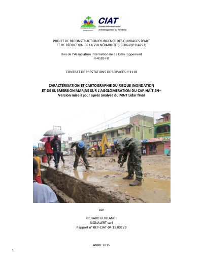
Characterization and Mapping of Flood and Marine Submersion Risk in the Cap-Haïtien Urban Area (PROReV), Final Report
- First detailed flood exposure map of the Cap-Haïtien urban area, which had none.
- The November 2012 floods followed exceptional rain; the November 2014 floods followed rainfall close to the annual average.
- Field surveys show human action creates or worsens the hazard in many cases: building in ravine beds, filling ravines with waste, settling mangroves and estuary banks, defective or unmaintained drainage.
- The city spread between 1978 and 2013 into the bed of the Haut-du-Cap river, around the lagoon and onto mangroves.
- Three types of no-build zone are proposed: the seafront mangrove strip, the active bed along the main river and lagoon, and torrential corridors.
- Maps are usable at 1:25,000 to 1:10,000; the provisional LIDAR model covered only part of the city.
The CIAT commissioned this study because Cap-Haïtien, Haiti's second city, had no map of its exposure to flooding although it floods often and has spread since the 1980s into floodplain, lagoon and mangrove areas. The work, done with the CNIGS, follows a hydrogeomorphological approach in two parts: a historical, rainfall, land-use and field analysis of the causes of flooding, delivered in November 2014, and a hazard mapping with no-build zones and recommendations. The body of the report runs to 70 pages and the annexes to 61.
The rainfall records show that the November 2012 floods followed truly exceptional rain, while the November 2014 floods followed a cumulative rainfall close to the annual average. Field surveys found that in many cases the hazard is created by people: building on hillsides and in ravine beds, filling ravines and rivers with waste and rubble, extending the city onto the estuary banks and mangroves, and drainage works that are undersized, badly designed or unmaintained.
The study produces a hydrogeomorphological map from 1978 aerial photographs, a comparison of land use in 1978 and 2013 showing the city's spread into the bed of the Haut-du-Cap river and around the lagoon, a flood and runoff danger map, and a map of three types of no-build zone, usable at 1:25,000 to 1:10,000. The provisional LIDAR terrain model covered only part of the city. Recommendations cover hazard knowledge, governance and regulation, clearing the Haut-du-Cap river, estuary and ravines, removing settlements from banks and shores, reducing building vulnerability, the design of public works and the MTPTC's capacity, and land-use planning that takes hazards into account. Marine submersion is estimated only briefly, because a UNDP and UNESCO program was to model it in 2015.
How to cite
Interministerial Committee for Territorial Planning (CIAT), 2015, Characterization and Mapping of Flood and Marine Submersion Risk in the Cap-Haïtien Urban Area (PROReV), Final Report, https://ciat.gouv.ht/sites/default/files/docs/Rep-FINAL-CIATLIDAR-04.15.001V3.pdf
- Rights holder
- Comité Interministériel d'Aménagement du Territoire (CIAT)