
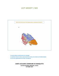
Commune School Mapping: Ranquitte
- A commune school-network plan for Ranquitte, Nord department, one of 67 in the MENFP series produced with IDB financing. It diagnoses access, accessibility and the quality of the education service, projects the school-age population and enrolment, and proposes how to reorganize the network: school norms, catchment areas, infrastructure, teachers, textbooks, and the cost of schooling and how it is financed.
- 63 percent of the commune's schools are non-public, and they range from 20 to 524 pupils. The report counts 3,955 pupils at fundamental level in 2024-2025.
- The two annexes are what make the series reusable: a directory of every school in the commune, and a list of teachers with their professional training profiles. For statistics across all communes, read the MENFP national school statistics yearbook and the departmental school registers, which this corpus also holds.
This commune-level carte scolaire, prepared for UCP-MENFP with BID support, covers Ranquitte in Nord. The report combines mapped school and household locations with diagnostic tables on preschool, fundamental and secondary education. Its structure covers accessibility and access, service quality and resource use, demographic characteristics and projections, then proposes changes to reorganize and strengthen the school network. The document is useful for education planning, local infrastructure review, and urban/territorial analysis because it links schools to settlement patterns and commune geography.
How to cite
Ministry of National Education and Vocational Training (MENFP); Inter-American Development Bank (IDB), 2025, Commune School Mapping: Ranquitte, https://menfp.gouv.ht/#/documents/official