
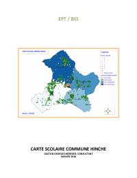
Commune School Mapping: Hinche
- Estimated 2017 population of 124,555, 223 inhabitants per square kilometer, projected to reach 235 by 2021.
- 1 percent of residents live in rural communal sections.
- 125 fundamental schools, 39 of them national, and 42 kindergartens.
- 6 percent of schools are non-public.
- 90 percent of schools run a single shift, between 7:00 a.m. and 1:00 p.m.
This school map of the commune of Hinche, Centre department, was prepared for the education ministry (MENFP) with financing from the Inter-American Development Bank (January 2018, 83 pages). The commune had an estimated 2017 population of 124,555 on 558.40 square kilometers, a density of 223 inhabitants per square kilometer, with 69.1 percent of residents living outside the town in rural communal sections. The map covers 125 fundamental schools, 39 of them national, and 42 kindergartens. It diagnoses access and service quality, analyzes population and projects pupil numbers, then proposes school norms, catchment areas and other changes to the network. Annexes list the commune's schools and its teachers.
How to cite
Ministry of National Education and Vocational Training (MENFP); Inter-American Development Bank (IDB), 2018, Commune School Mapping: Hinche, https://menfp.gouv.ht/#/documents/official